OUR APPROACH
Data-driven environmental responsibility
Environmental responsibility is a core principle in the activities of Tintyava Exploration AD. The company applies an approach based on data collection, regular monitoring, expert assessments and preventive measures for environmental protection.
In the area of the Tintyava area and the Rozino deposit, observations and analyses are carried out on key components of the environment: climate, surface and groundwater, ambient air, soils, vegetation and other indicators.
Regular monitoring
Field measurements, observations and laboratory analyses.
Baseline for comparison
Data on the current condition and tracking over time
Preventive approach
Planning activities with a focus on protection and restoration
ENVIRONMENTAL MONITORING
Observation, measurement and analysis
Tintyava Exploration AD carries out systematic environmental monitoring in the area of the Tintyava area and the Rozino deposit. The data is used to establish a baseline for comparison over time, to plan exploration and project activities, and to apply measures aimed at protecting the local environment.
The monitoring includes regular field visits, measurements, observations and laboratory analyses of various environmental components. The collected information is systematized and used in the ongoing environmental assessments of the area.
Climate
Field measurements
Monitoring points
What we monitor
Local climate
Temperature, humidity, precipitation, wind direction and wind speed
Ambient air
Measurements in nearby settlements during the summer and winter seasons.
Groundwater
Measurement of water levels and monitoring of quality.
Soils and vegetation
Analyses of soil and vegetation samples from the area.
Surface waters
Monitoring of rivers, tributaries, seasonal fluctuations and bottom sediments.
Radiological control
Gamma-spectrometric measurements of rock and composite samples.
CLIMATE AND WATERS
Tracking natural conditions in the area
Local climate
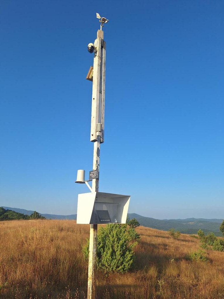
The main meteorological indicators in the area are monitored, including air temperature and humidity, wind direction and speed, as well as precipitation amounts. The data is collected through an in-house meteorological station located in the southern part of the village of Rozino and is included in a database for long-term monitoring of local climatic conditions.
This information supports the assessment of the local climate and serves as a basis for comparison during subsequent observations.
Measurement of climate indicators
Waters
Water monitoring covers groundwater, surface water and drinking water. Field measurements, sampling and laboratory analyses are carried out to track seasonal fluctuations and the current condition of water bodies in the area.
The results from water samples and measurements are used for the hydrological and hydrogeological assessment of the area.
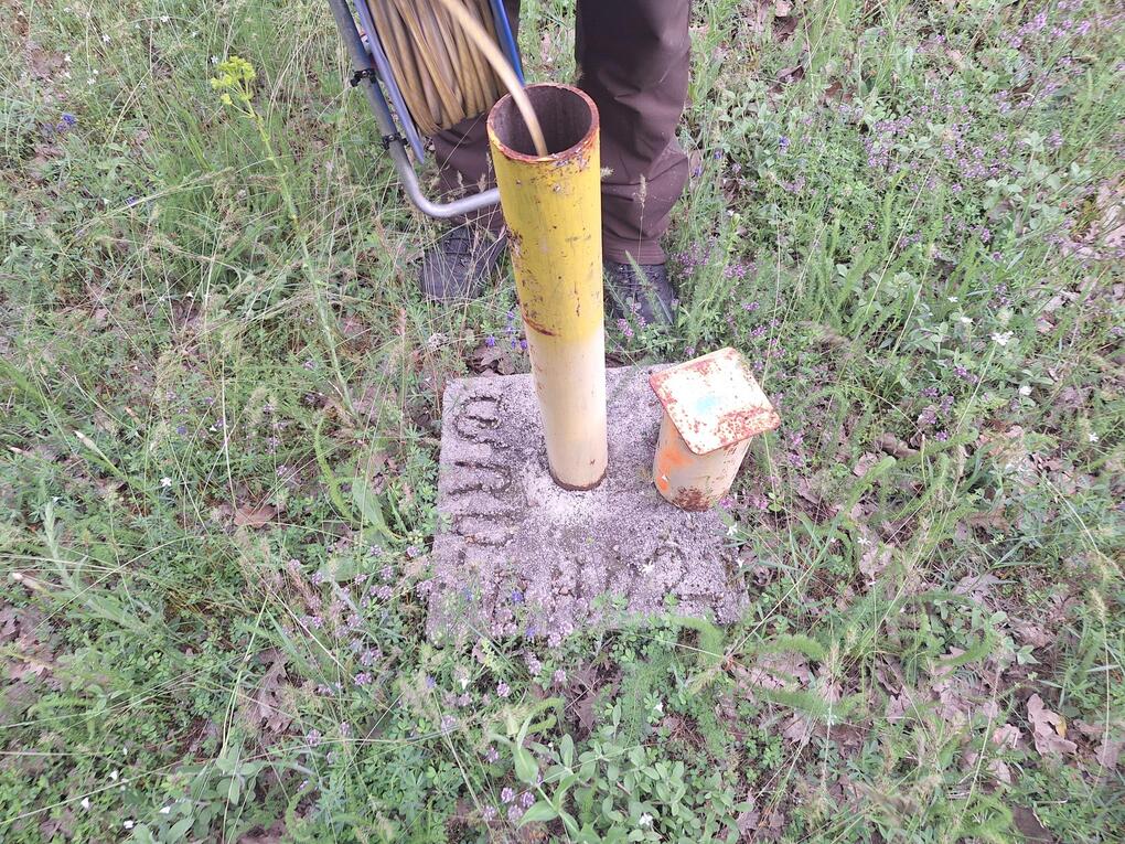
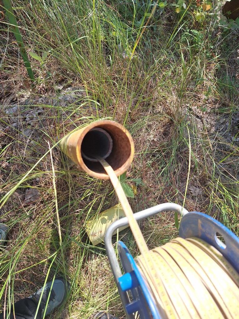
Groundwater
Water levels
Field points
MONITORING COMPONENTS
Waters, air, soils and vegetation
Groundwater
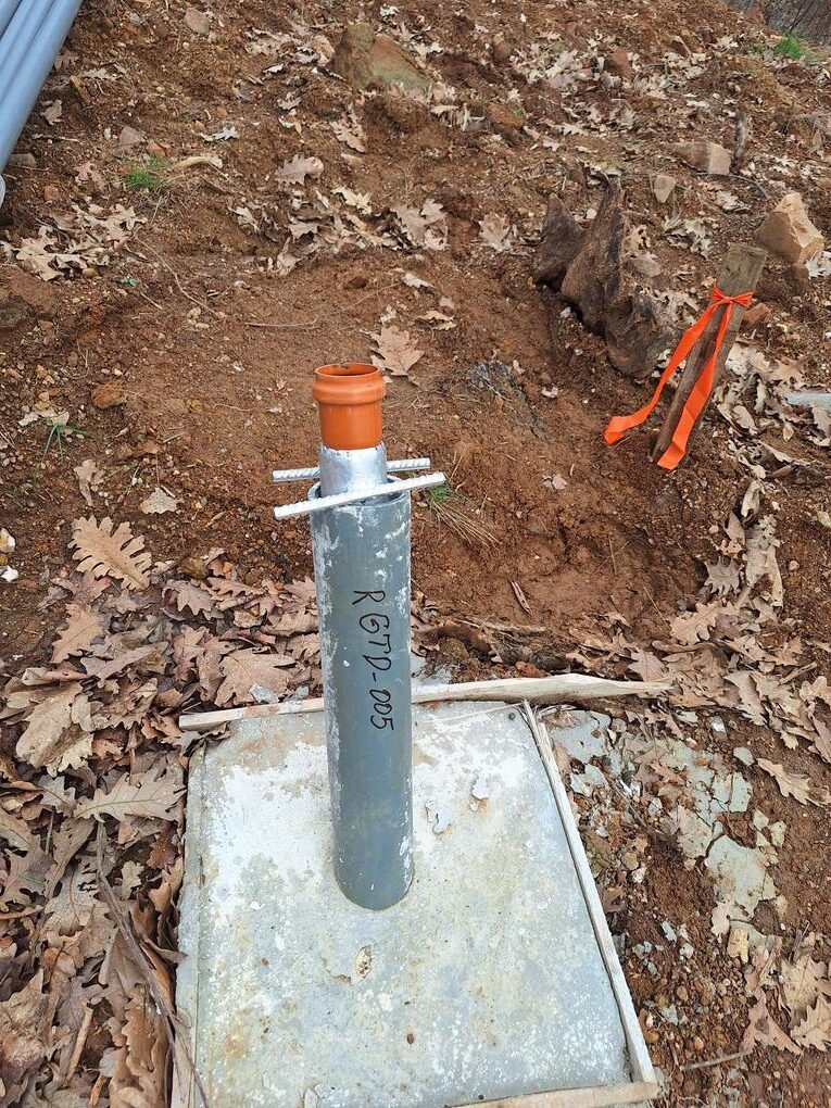
Regular measurements of water levels in selected monitoring boreholes, as well as samples for analysis of groundwater quality. More detailed data on groundwater dynamics is recorded by a piezometer installed in an exploration borehole to monitor fluctuations in groundwater levels
Surface waters
Monthly monitoring of the main rivers and tributaries, points for measuring seasonal fluctuations and analysis of bottom sediments. The flow parameters of the main rivers and tributaries in the area are monitored and analyzed every month. Measurement points for seasonal fluctuations in surface waters have been established along the rivers.
Drinking water
Samples from fountains in nearby settlements for assessment of water quality used for drinking and domestic water supply.
Ambient air
Ambient air quality is monitored in the nearest settlements. Measurements are carried out with a mobile laboratory twice a year: during the summer and winter seasons.
Indicators such as fine particulate matter, sulfur dioxide, nitrogen oxides, carbon monoxide, ozone, hydrogen sulfide, hydrocarbons, ammonia, as well as meteorological parameters are assessed.
Soils and vegetation
The monitoring program includes the study of soil samples from permanently grassed areas, forest soils and cultivated land. The analyses are aimed at tracking the permissible content of harmful substances and assessing the condition of the soils.
At the same time as the soil samples, vegetation samples are also taken from cultivated areas and vegetable gardens in order to monitor the content of heavy metals
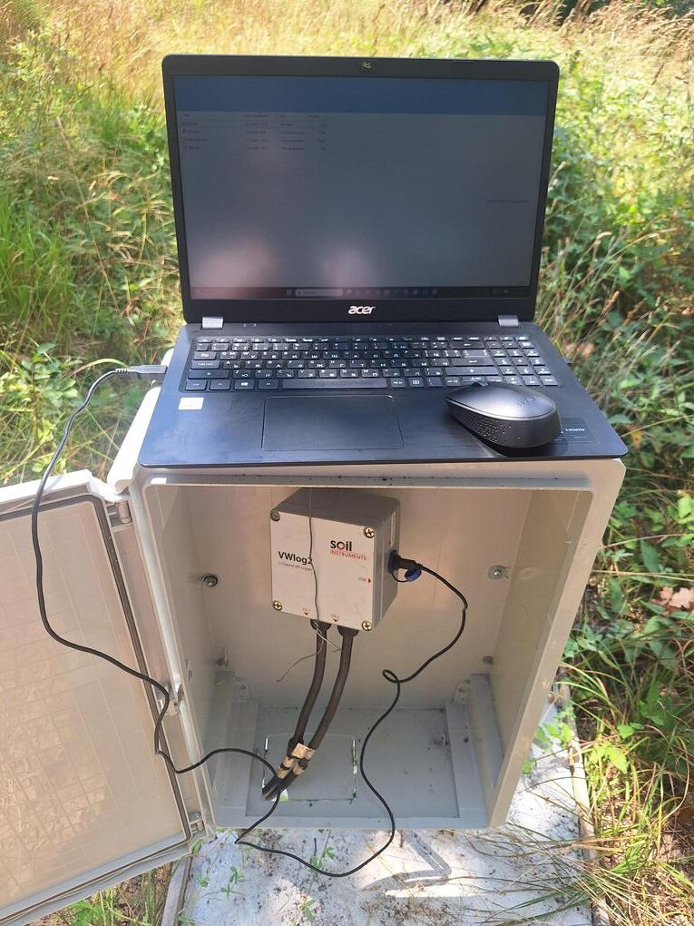
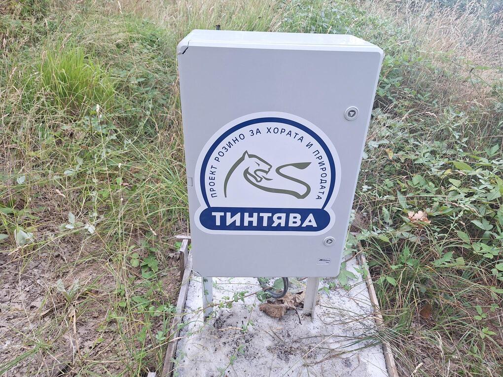
Field monitoring point
CONTROL AND PROTECTION
Radiological control and environmental protection
Radiological control
As part of the environmental observations, gamma-spectrometric measurements have been carried out on a waste sample and composite samples from drill core taken from crushed rock material at different depths.
According to the studies carried out, no significant radiological mineralization or prerequisites for the occurrence of radiological risk to the population and the environment have been identified. The results are compared with the maximum permissible specific activities of natural radionuclides.
Environmental protection
Preventing and limiting possible adverse impacts on species and habitats is an important part of the company’s approach. Exploration activities are planned and carried out in compliance with the applicable requirements of environmental legislation, including the procedures related to protected areas and the Natura 2000 network.
The planned activities are set out in the relevant work projects and are subject to assessment under the Biodiversity Act and the applicable regulatory framework for compatibility assessment.
RESTORATION
Reclamation and restoration of land
Geological exploration activities may temporarily affect the surface terrain and vegetation. Therefore, Tintyava Exploration AD applies an approach aimed at minimizing the affected areas and restoring the land after completion of the activities.
The process includes technical and biological reclamation. Technical reclamation is aimed at restoring the land to a condition as close as possible to the surrounding terrain: through leveling, spreading the humus layer and applying measures to limit erosion during heavy rainfall.
This is followed by biological reclamation: grassing and/or afforestation in accordance with approved projects. These projects define the method of soil preparation, the afforestation scheme, the appropriate season, the types of planting material or grass mixtures, as well as subsequent care for the restored areas.
Restoration and land care
Data, monitoring and responsibility
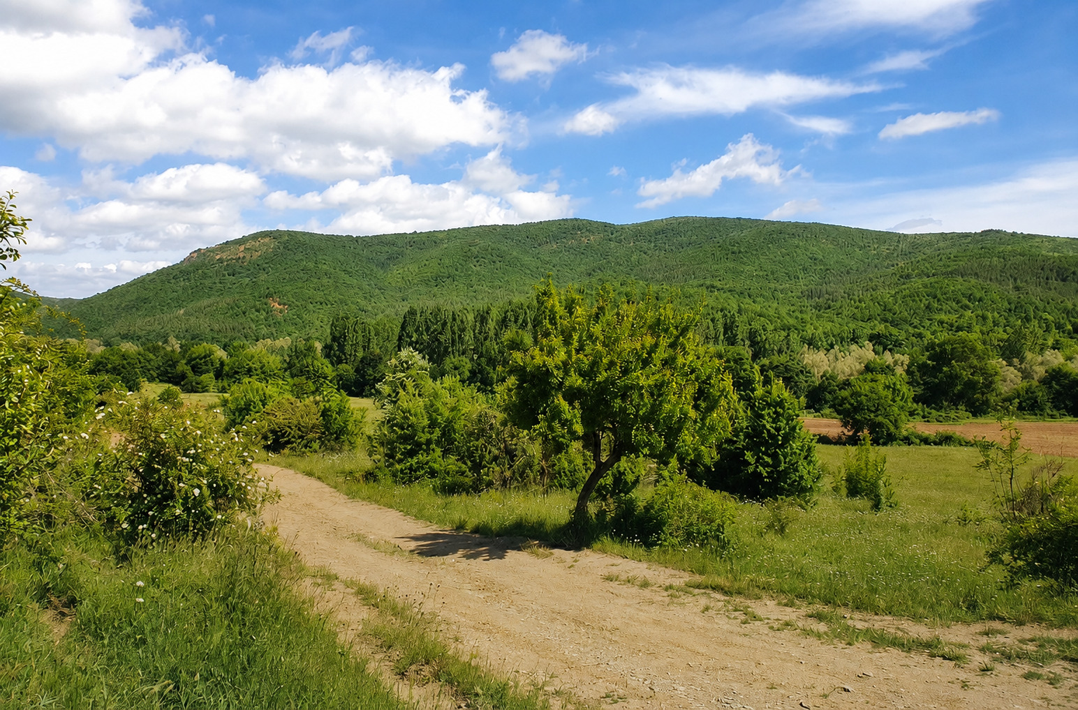
All data collected from monitoring is systematized and used for the ongoing environmental assessment of the area, as well as for comparison over time during subsequent observations. This approach allows decisions to be based on actual measurements, expert analysis and consistent tracking of the state of the environment.